About Publications Library Archives
heritagepost.org

Preserving Revolutionary & Civil War History

Preserving Revolutionary & Civil War History

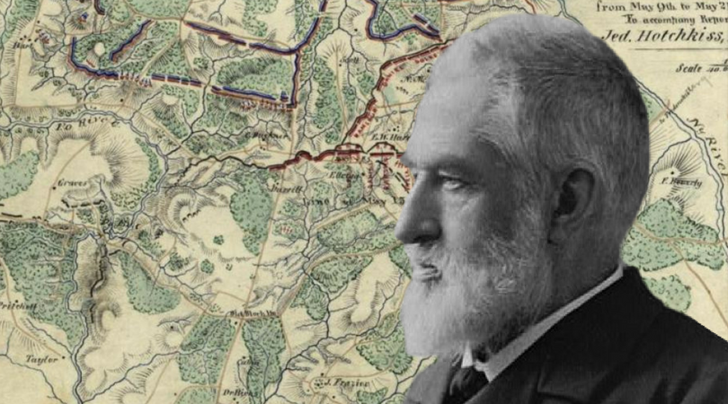
A transplanted New Yorker, Jedediah Hotchkiss became the most famous of Confederate topographers. After a tour of Virginia in the late 1840s he settled there and founded an academy. In 1861 he gave up teaching and offered his services as a map maker to General Garnett in western Virginia. After serving at Rich Mountain and mapping out General Lee’s planned campaign in the mountains, he fell ill with typhoid fever. In March 1862 he joined Stonewall Jackson in the Shenandoah Valley as a captain and chief topographical engineer of the Valley District. Often personally directing troop movements he took part in the actions of the Valley Campaign and at Cedar Mountain, Chantilly, Harpers Ferry, Antietam, and Fredericksburg. At Chancellorsville he found the route by which Jackson was able to launch his surprise flank attack on the Union 11th Corps. After the death of his chief he served the next two commanders of the corps, Generals Ewell and Early, but was frequently assigned to work for Lee’s headquarters. In this dual role he served at Gettysburg and in the Mine Run and Wilderness campaigns.
Accompanying Early to the Shenandoah, he served through the campaigns there until after the disaster at Waynesborough. He gave himself up upon notification of Lee’s surrender. By now a major, he was arrested but General Grant had him released and returned his maps. Grant even paid for the right to copy some of them for his own reports. Most of the Confederate maps in the atlas of the Official Records were drawn by Hotchkiss. After the war he was energetic in trying to develop the economy of his adopted state. Also involved in veterans’ affairs, he authored the Virginia volume of Confederate Military History.
(Hotchkiss, jedediah, Make Me A Map of the Valley)